
Walk the El Mirage Street Directory
An address search works best as a chain, not as one result screen. The Maricopa County Assessor property search turns a street address into an assessor parcel number, or APN, plus a current owner line, situs address, mailing address, subdivision, and legal description. The address trail then follows those stable parcel facts into the map and deed systems. It can establish ownership and public links to the site. It cannot, by itself, name every person who occupies the property.
- Enter the complete El Mirage address in the Assessor search. Save the APN, subdivision or MCR, legal description, owner line, and separate mailing address.
- Open the Parcel Viewer and inspect the parcel within its street and subdivision. Use map shapes only after the exact parcel is confirmed.
- Follow the MCR or subdivision record to the recorded plat. The plat ties the street address to lot, block, and recorded map geometry.
- Search the current owner in the Recorder index. Match names to the legal description and recording references before treating a deed as part of the chain.
- For occupant history, compare a verified reverse directory, city address files, and lawful voter evidence. None of those sources is complete alone.
This order prevents a common mistake: starting with a similar name and attaching it to the wrong lot. In fast-growing El Mirage subdivisions, an APN split or combine can also break a simple address trail. The legal description and recorded map number provide the better bridge.
Search El Mirage Streets by Address
Several official sources accept an address or a parcel key, but they answer different questions. The table separates ownership, geometry, recorded instruments, city activity, tax evidence, and regulated voter data. A strong El Mirage street directory uses each source for the fact its custodian actually keeps.
| Address source | Official keeper | Street evidence | Ways to reach it |
|---|---|---|---|
| Property roll | Maricopa County Assessor | APN, owner, situs and mailing fields, subdivision, values | Free web search; Assessor help or records request |
| Parcel map | Maricopa County Assessor GIS | Parcel shapes, nearby lots, MCR links, spatial selections | Free Parcel Viewer; map and field support |
| Deeds, liens, and plats | Maricopa County Recorder | Indexed parties, recording data, legal description, page images | Online index, Phoenix counter, phone, mail or records request |
| Tax account | Maricopa County Treasurer | Situs, account, tax history, receipt and payment facts | Free portal; Treasurer phone assistance |
| Permit and code files | El Mirage Development Services | Project address, applicant, contractor, work and inspection history | Focused city public-record request |
| Voter file | Maricopa County Recorder | Only fields and uses authorized by Arizona law | Personal voter portal or regulated file request |
The APN is the strongest shared key. It connects the parcel roll to the tax account and helps identify deeds or plats even when a street spelling changes. Permit files can show an owner, applicant, or contractor tied to work, but that link is not proof the person lived at the property.
Note: El Mirage city files have no crawlable historic permit index, so requests should give the exact address, record type, and date range.
Query El Mirage Parcel Records
The Assessor search is broader than a plain address box. Its main search accepts an APN, owner, address, subdivision, recorded map number, city, ZIP, section-township-range, business account, or mobile-home identifier. For a street-by-street task, start narrow. Search the known address, inspect the parcel card, and only then broaden by subdivision, city, or ZIP.
| Search mode | Input and use | Required? |
|---|---|---|
| Main Search | Autocomplete for APN, owner, address, subdivision, MCR, city, ZIP, STR, or other supported ID | Yes |
| Parcel Number | Dashed or undashed APN; split suffix accepted | No |
| Owner Name | Full name; the Assessor advises against shortening the first name | No |
| Address | Number plus standard direction and street type; city, state, and ZIP may be left off | No |
| Subdivision or MCR | Subdivision name or recorded map number | No |
| City or ZIP | Returns parcels within the selected geography | No |
A parcel card keeps the physical, ownership, and mail fields apart. The situs address is the property's physical location. The mailing address is where the tax notice goes. If they differ, the owner may live elsewhere, but the difference does not prove why. If they match, the owner still is not automatically the only occupant.
Map an El Mirage Street
The Maricopa County Parcel Viewer supports point, line, polyline, extent, circle, polygon, and freehand polygon selections. A line can follow a short street segment. A narrow polygon can enclose parcels on both sides. The Buffer Graphic option expands a drawn shape by a chosen distance, while Add to current results combines more than one selection.
This is an unusual strength of the El Mirage street directory workflow. Search results can be zoomed, flashed, reviewed in Feature Information, or exported as a Feature Collection or GeoJSON. Yet the first 1,000 selected features are the limit. A ZIP-wide or broad polygon search should be narrowed to the relevant blocks before any conclusions are drawn.
The map is not a survey or title report. Parcel lines are illustrative, and legal boundaries require the recorded plat, deed, and professional verification when the issue demands it. A map click supplies a research lead, not a legal boundary finding.
Note: Save the APN, legal description, and MCR before leaving the parcel card; those three facts survive most street-name and parcel-history problems.
Decode El Mirage Address Records
Street records use a few terms that keep ownership and occupancy claims precise. They matter most when the modern street address no longer retrieves an older document.
- Parcel
- A mapped unit of land identified for assessment by an APN. A parcel can be split or joined, so the identifier may change.
- Situs address
- The physical address assigned to the property. It is distinct from the owner's tax-mailing address.
- Plat
- A recorded map that lays out a subdivision, lots, blocks, streets, and related dimensions or references.
- MCR
- The Maricopa County recorded map reference that links a subdivision result to its official plat.
- Criss-cross directory
- A printed directory organized by street and number, allowing an address-first search for the listed subscriber or householder.
These terms also mark the limits of each record. A plat describes land geometry. An assessor parcel identifies the taxpayer or owner. A criss-cross directory lists only the people reached by its publisher's sources, so a blank entry does not prove a vacant property.
Read El Mirage Recorded Plats
El Mirage grew through West Valley subdivision development, which makes the recorded plat a key street tool. From the Assessor or Parcel Viewer, follow the subdivision or MCR reference to the Recorder's plat. Confirm the lot and block against the parcel legal description. That match is more durable than a mailing label and helps when an address has been standardized or an APN no longer exists.
A subdivision result can link straight to its recorded plat PDF. The shortcut connects neighborhood geometry with the official recorded map, but it does not replace a title search. Easements, later replats, lot combinations, and other instruments can affect the picture. Search the Maricopa County Recorded Documents index for related instruments by document number, book and page, party, or document type.
Build El Mirage Street Deed Chains
The Recorder index reaches from 1871 to the present, while its full-text Research mode searches names, legal descriptions, and addresses only across the latest two years. Older El Mirage street directory work therefore starts with identifiers found on the current parcel card or deed. Search the present owner as a grantee near the displayed transfer date, open the unofficial image where available, and verify the legal description before accepting the match.
Then turn the seller, or grantor, into the next grantee search. Repeat that reversal to move back through the chain. Trust and company names belong in the Business Name field. Document Code or Title helps separate deeds from deeds of trust, releases, liens, affidavits, and plats. The index has more than 52 million searchable documents, so a name alone is rarely safe.
Online images are leads. Recorder copies cost $1 per page, and certification adds $3 per document. Official service is available at the Recorder counter at 301 W. Jefferson Street in Phoenix, by phone at 602-506-3535, and through the Recorder records-request route. Arizona State Archives, the State Research Library, and FamilySearch catalogs can help identify pre-digital book series, but only the Recorder issues a certified deed.
Cross-Check El Mirage Tax Accounts
The Treasurer provides an independent check after the parcel is known. Its search supports parcel or account number, name, situs address, and VIN modes. Result pages can expose Tax Summary, Tax History, Activities, Tax Due, Tax Receipt, Valuations, and a Detailed Tax Statement. These facts help confirm that the right parcel was selected and distinguish current tax activity from a deed recording.
The Maricopa County Treasurer portal shown below is the successful street-directory image assigned in the project manifest.
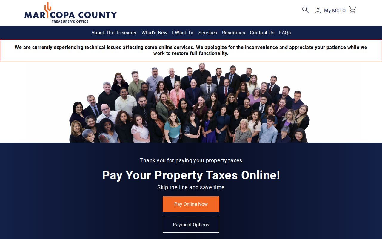
The portal can support a parcel comparison, but payment status proves only account activity. It does not prove that the payer or owner occupied the El Mirage address. For help with a tax account, the Treasurer's published phone is 602-506-8511.
Request El Mirage Address Files
Some street evidence is not in a public search box. El Mirage Development Services can hold permit applications, issued permits, inspections, and code files tied to a site. The city submission hub separates general, police, and court requests, which helps route an address request to the right custodian. Give the exact property address, department, document type, and a useful date span through the El Mirage public-records request page.
Permit evidence must be read with care. An applicant, contractor, architect, or owner may appear because of a project role, not because that person occupied the site. If the permit address conflicts with the Assessor, record both versions and ask the agency that owns the questioned field. Ownership and map corrections go to the Assessor, taxes to the Treasurer, recorded instruments to the Recorder, and municipal permit facts to the city.
Arizona Public Records Law, A.R.S. sections 39-121 through 39-161, calls for prompt access subject to confidentiality, privacy, and the state's best interests. It does not require staff to create a new street directory or answer an open-ended research question. A narrow request for existing address files is more effective.
Bridge El Mirage Street Eras
For historic occupants, Cole's Greater Phoenix criss-cross volumes from 1962 and 1963 provide El Mirage's strongest verified address-first bridge. The printed street listing can identify a listed occupant or telephone subscriber, after the modern deed and legal description have established continuity. Mullin-Kille's name-first directories and the annual Mountain States telephone volumes can test the name in nearby years. Details of the volumes belong to the El Mirage city directory collection.
No official source inspected documented a citywide El Mirage street-renumbering year. Do not invent one to explain a failed hit. Instead, compare the recorded plat, APN history, directory street guide, and any annexation or subdivision record. The Assessor can supply a parcel-history report when a split or combined APN no longer returns.
Early searches also cross government boundaries. Maricopa County formed in 1871, while El Mirage incorporated in 1951. Evidence before city incorporation may sit under county, township and range, federal census, land descriptions, or neighboring community headings rather than an El Mirage street name.
Respect El Mirage Voter Limits
Arizona's individual voter portal is not an anonymous browse of every person on an El Mirage street. It uses identifying inputs to return a voter's own status and election details. Broader Maricopa County files are regulated products under A.R.S. sections 16-153 and 16-168. Requesters must state the geography, desired fields, format, and a legally permitted use.
Public extracts may include authorized name, address, party, registration, district, and participation fields. Participation means whether a person voted, never the ballot choice. Social Security data, driver or state ID numbers, sensitive identifiers, and protected addresses are withheld. Address Confidentiality Program participants use protected registration so their actual location does not enter the public file.
A voter record can support a date-bound address link, but inactive status does not prove a move. Returned mail and list-maintenance rules can affect status. For personal registration information, use Arizona's voter information portal; formal file questions go to the Maricopa County Recorder.
Know El Mirage Directory Limits
A public owner line is not an occupant roll. Non-owning occupants, relatives, and other household members may never appear in parcel or deed data. Utility customer details, motor-vehicle addresses, private club or congregation rosters, and protected voter addresses are not general public street-directory sources. A commercial listing can also merge people with similar names or retain an old address, so it is not a substitute for the custodian's record.
The most reliable conclusion states exactly what was found: a named owner on a dated parcel roll, a party on a recorded instrument, an applicant in a permit file, or a listed subscriber in a specific directory edition. That wording preserves the difference between ownership, a public transaction, a project role, and residence.
Lawful use. Use El Mirage address records for family history, property research, civic transparency, or personal safety. Never use them to stalk, harass, threaten, or harm anyone.